
Looking Up Kaysville Neighbors
A block-level neighbor search works best when each source is asked one narrow question. The map answers which parcels touch. The Recorder answers recorded ownership. The voter file can show ordinary registrants at an address, but not every household member. The HOA registry identifies a legal association, not its private roster.
| Source | What It Shows About a Block | Access |
|---|---|---|
| Davis GIS / Property Search map | Parcel polygons, adjacent geometry, and map layers | Free dynamic public map |
| Davis Recorder | Owner, legal description, deeds, liens, and parcel history | Search, REDI-Web, terminal, copies |
| Utah voter data | Ordinary registrants, address, age range, status, precinct | Self route or permitted file; protected records withheld |
| Utah HOA Registry | Association legal name, alias, or registration number | Public Commerce search; no member list promised |
| Library and museum collections | Historic block, newspaper, directory, and oral-history clues | Digital, catalog, microfilm, or inquiry |
A recorded owner may not be the current occupant. A voter may be inactive or protected. A historical neighbor may have moved decades ago. “Neighbors” should describe the source and date, not claim more than the record shows.
Mapping a Kaysville Block
Open the Davis County Property Search map, accept the informational-use terms, locate the target address, and select the parcel polygon. The research confirmed an all-in-one map and property application, but the exact buffer or radius control was not exposed. If selection is hard, use the Kaysville Interactive City Map and printable parcel or street maps, then search each adjacent situs address.
- Save the target parcel ID, legal description, street, city, and retrieval date.
- Pan outward and identify every parcel that touches the block or sits across the street.
- Open each parcel record and keep owner, mailing, situs, and legal-description fields separate.
- Compare adjacent deed or plat records when a parcel is split, combined, or assigned to a cross street.
- Use the Kaysville street directory when the question expands from one block to a whole street.
Corner lots, multifamily parcels, alleys, and private drives can defeat a simple house-number walk. Geometry is safer than assumption.
Kaysville GIS Layers Add Context
Kaysville’s GIS catalog lists interactive city, cemetery, irrigation-boundary, public-notice, recycle and garbage, school, zoning, and current-construction maps. These layers can explain why two nearby parcels feel connected or why a boundary crosses a block. They do not provide private household details.
Utah UGRC parcel data adds parcel identifiers, address, city, ZIP, ownership type, recorder information, and update fields as a state-level comparison. Use the county record for the current local answer and label any refresh date.
The Utah HOA Registry is the official source for the association-search context.
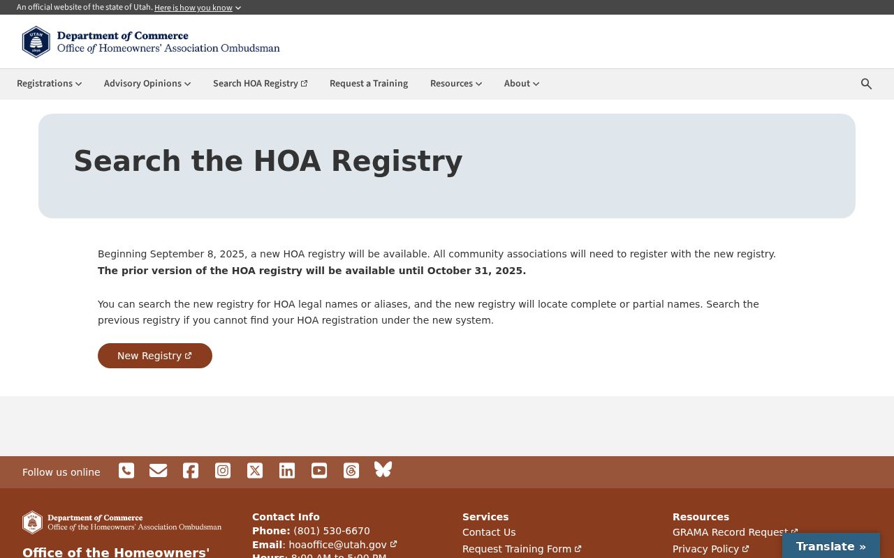
The image illustrates the community-record layer, which identifies an association or public resource rather than individual members.
The Utah HOA Registry search is a second official route for checking whether an association record is present for a development or common-interest community.
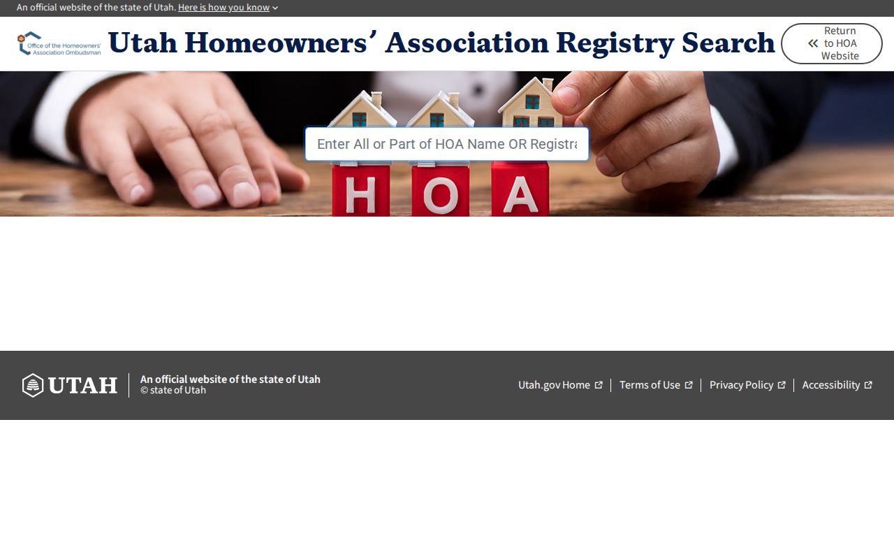
An association filing can add organizational context to a block comparison, but it does not disclose a private membership roster or prove who lives at a particular address.
Recorder Checks for Kaysville Neighbors
After the map, open the Davis County Recorder Property Search. Search each parcel or document entry and capture the current owner, recorded documents, legal description, and parcel history. REDI-Web advertises name, address, parcel, and document-number searches, images, abstracts, plats, and surveys.
The Recorder’s office is in Farmington, not Kaysville. It provides public terminals, copies, certified copies, plats, and Property Watch alerts, but it does not perform title research or give legal advice. The recorded owner is a property fact. It is not proof that the owner is one of the neighbors who lives there.
Utah Voter Data at Block Scale
Utah’s public voter fields can include full legal name, residential and mailing address, age range or year of birth, county, precinct, districts, party or unaffiliated status, active or inactive status, last update date, and vote history. Full DOB, SSN, driver ID, phone, email, and signature are private. At-risk voters are withheld.
A statewide voter file is displayed at $1,050 for a one-time purchase, while county or district lists come from the appropriate county clerk. Davis County Clerk’s contact route is Farmington. A casual status lookup is not a by-street browse, and the voter file is not a list of every person in a home.
The Utah Commerce business-search page is the source for the public affiliation and filing context shown with this block research.
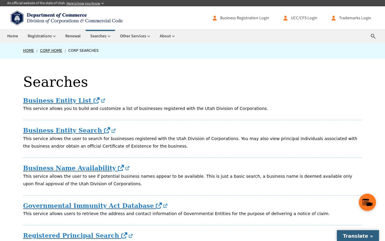
Public civic fields can support a careful block comparison, but absence or inactivity never proves that a parcel has no neighbor.
Kaysville Association Names
Kaysville does not publish a central neighborhood-membership directory in the inspected city material. The Utah Commerce HOA Registry is the official current route for a community’s legal name, alias, or registration number. The new registry began September 8, 2025. It does not promise a private member roster.
| 50 East Neighborhood | Named in 2019 West Davis Corridor community-study material; current status not located |
|---|---|
| Schick Farms HOA | Historical consultation inventory; confirm current registration live |
| Quail Crossing HOA | Historical consultation inventory; no current member list located |
| Pheasantbrook HOA | Historical consultation inventory; verify legal name and status |
| Equestrian Estates / Suncrest Meadows HOA | Historical consultation inventory; not proof of target-block coverage |
Search the Utah HOA Registry by part of the legal name or registration number. Treat the 2019 list as historical community context, not as a current roster.
Kaysville Civic Directory Clues
Kaysville’s Form Center lists boards, commissions, and public forms. The city department directory and civic newsletters can identify public contacts or dated initiatives, but they are not neighborhood membership lists.
The Kaysville department directory provides the public civic contact source shown here.
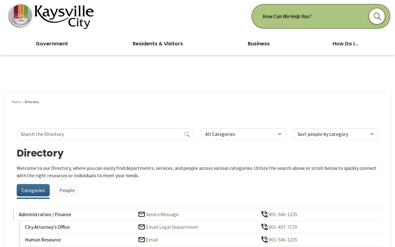
Use a civic directory for an office or program contact, then ask the custodian for the underlying public record if a block question remains.
Kaysville Civic Contact Layer
Kaysville’s public forms and civic notices can provide a dated contact path for boards, commissions, and city programs without exposing private neighbor membership.
The Kaysville Hometown Post is the source for the dated civic-news layer.
Use the public contact layer for the office or program named in a record, not for a private list of nearby people.
Historic Kaysville Block Evidence
The 1894 Sanborn map, KFH Museum house tours, Davis County Clipper, telephone sources, cemetery records, and oral histories can show how a Kaysville block changed. The old fort frame around Main Street, 100 South, 200 North, and 600 West helps translate historic place language.
The Davis County Clipper run covers 1892–1992. KFH Museum’s source notes identify a 1931–1932 Kaysville-covering telephone catalog, plus 1953 and 1960 local telephone sources. These can name a past subscriber or business connection. They do not establish a current neighbor.
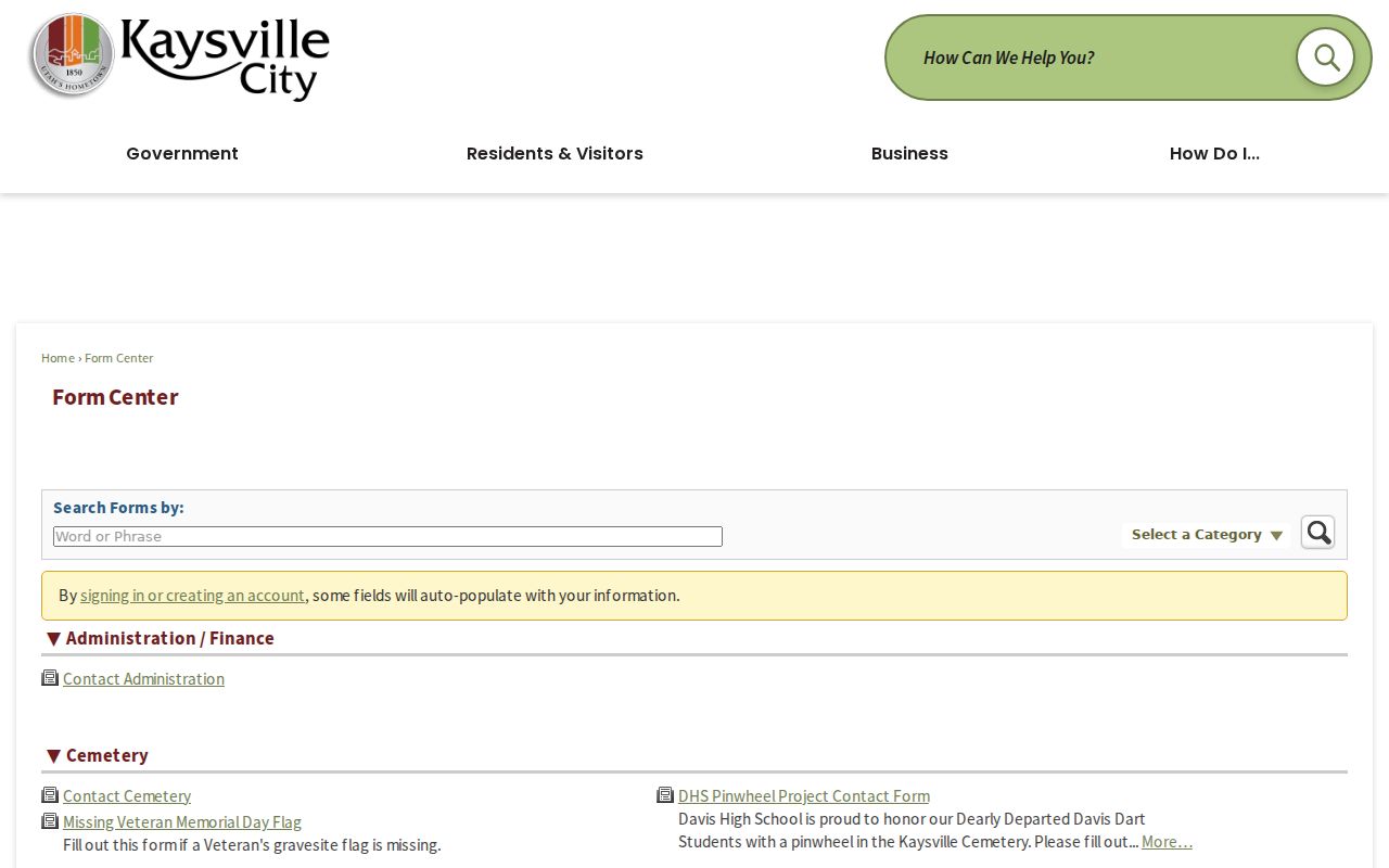
The Kaysville Form Center is the city source for public forms and request categories.
Historic block evidence is strongest when the street, number, parcel, date, and second source agree.
Official Rolls Versus Compiled Profiles
Official sources and commercial neighbor tools serve different purposes. A compiled profile may join public extracts and address histories, but it can be stale or misassigned. The custodian’s record has its own date, field rules, and correction route.
| Source type | Strength | Limit |
|---|---|---|
| County parcel and deed records | Recorded owner, land identity, legal description | Not a complete occupant list |
| Utah voter records | Ordinary registrant and district fields | Protected, inactive, and non-registrant gaps |
| Compiled profile tools | May combine many public or brokered clues | Cost, stale data, misattribution, and no custodian authority |
Privacy Limits for Kaysville Neighbors
Household-member details are not guaranteed public property fields. Utility, delivery, and DMV data are not open neighbor lists. Safe at Home can protect an eligible survivor’s actual address, city, county, precinct, phone, and address-linked identifiers through a substitute address. At-risk voter records may also be withheld.
Do not combine public records to defeat a privacy control. Use association information for the association’s public contact, not a private member roster. If a record is wrong, ask the Recorder, Clerk, court, Health Department, City Recorder, or other custodian about the correction route.
Lawful use. Kaysville neighbor research is for understanding a block, reconnecting, genealogy, and lawful personal safety awareness. Do not use it to watch, follow, harass, intimidate, or harm anyone. Utah Code §76-5-106.5 addresses stalking conduct, including repeated monitoring or approaching a residence or neighbors.