
Sources for Kaysville Previous Residents
The best house-history trail is an era map. Davis County Recorder custody is described from 1850, with the historical land collection beginning in 1870 and computerization or microfilming beginning in 1981. The online cutoff by document type was not located, so older deed work may require a public terminal, book, microfilm inquiry, or copy request.
| Source | Years It Covers | Where Held | What It Shows |
|---|---|---|---|
| Davis Recorder land records | Custody since 1850; historical collection from 1870 | Recorder, Property Search, REDI-Web, terminals | Deeds, liens, plats, legal descriptions and owner chain |
| Kaysville Cemetery interment register | 1861–1982 | Utah Archives Series 22081 and city records | Burial, birth/death, plot, physician and comments |
| Local telephone sources | 1931–1932, 1953, 1960 | FamilySearch and KFH Museum leads | Subscriber or address snapshots, with gaps |
| Davis County Clipper | 1892–1992 | Davis County Library digital library | Moves, obituaries, civic events and property clues |
| 1894 Sanborn map | July 1894 | Library of Congress reference through KFH | Building footprint and block use, not occupants |
| Kaysville permits | Historical start not located; current digital portal | Community Development / City Inspect | Project, applicant, contractor and inspection dates |
Start with a deed for ownership, a directory or census for a household, and a newspaper or cemetery record for a life event. The starting source should match the era you are testing.
Tracing Owners Through Davis Deeds
Freeze the present before searching. Write down the exact situs address, parcel or serial number, current owner, mailing address, legal description, subdivision, lot, block, and retrieval date. Davis County warns that the property application is informational and may lag by at least 24 hours. That snapshot becomes the anchor for earlier records.
- Search the current parcel or address in Property Search and locate the latest deed or document entry.
- Capture grantor, grantee, instrument type, recording date, document number, book or page, legal description, and image status.
- Search the grantor as an earlier grantee, matching parcel, legal description, lot, block, and recording sequence.
- Repeat backward, checking trusts, estates, entities, parcel splits, combinations, and parent descriptions.
- When the online trail stops, ask about the Recorder terminal, deed books, microfilm, mail copies, or certified copies.
- Grantor and grantee
- The grantor transfers an interest. The grantee receives it in the recorded instrument.
- Chain of title
- The linked sequence of recorded transfers that connects a present parcel to earlier holders.
- Legal description
- The recorded land identity, such as lot, block, subdivision, or metes-and-bounds language.
Kaysville Parcels Change Shape
A street address is not always the oldest key. A modern parcel can derive from a subdivision, split, combination, or changed street label. Use the Davis map, ownership plats, and legal description to compare the present polygon with an earlier parent parcel. A parcel ID is usually more stable than street text.
The Recorder provides plat maps and dedicated subdivision maps, with displayed fees of $4 for an 18-by-18 plat map and $5 for a full-size dedicated subdivision map. A plat links the legal description to lots, blocks, and physical streets. It does not name every household. Compare it with the city GIS map before choosing an older address to search.
Past Households in Kaysville Sources
Owners are only one layer. The 1931–1932 telephone directory explicitly covers Kaysville and Davis County, while KFH Museum source notes identify local telephone books from 1953 and 1960. A telephone book can show a subscriber, not every occupant. Pair directory snapshots with federal census years, the Davis County Clipper, and cemetery or probate evidence.
- Normalize the street, number, locality, lot, block, and parcel before opening a directory.
- Search the address or criss-cross section first, then test surname listings and spelling variants.
- Write down every entry exactly, including initials, spouse notation, exchange, residence mark, and page.
- Pair the directory date with a public census schedule and note that enumeration day may not match publication day.
- Use a newspaper, cemetery, probate, or deed result to explain a move, death, marriage, or ownership change.
The Kaysville city directory collections page separates the verified telephone run from broader Polk or suburban titles. That distinction keeps a neighboring-community entry from becoming a false Kaysville claim.
Use the 1894 Kaysville Sanborn
The 1894 Kaysville Fireman’s Insurance Map, cited by KFH Museum through the Library of Congress, can place a structure on a block before the directory checkpoints. Compare footprint, lot, street name, and nearby institutional or commercial anchors with today’s parcel and map layers.
A changed footprint can flag an addition, demolition, or lot split. It cannot identify an occupant. Kaysville’s fort-grid history, with Main Street, 100 South, 200 North, and 600 West as the described boundaries, can help translate an old central address into a modern search frame.
The KFH Museum Historic Rock Building page supplies the civic-building and local record-history lead.
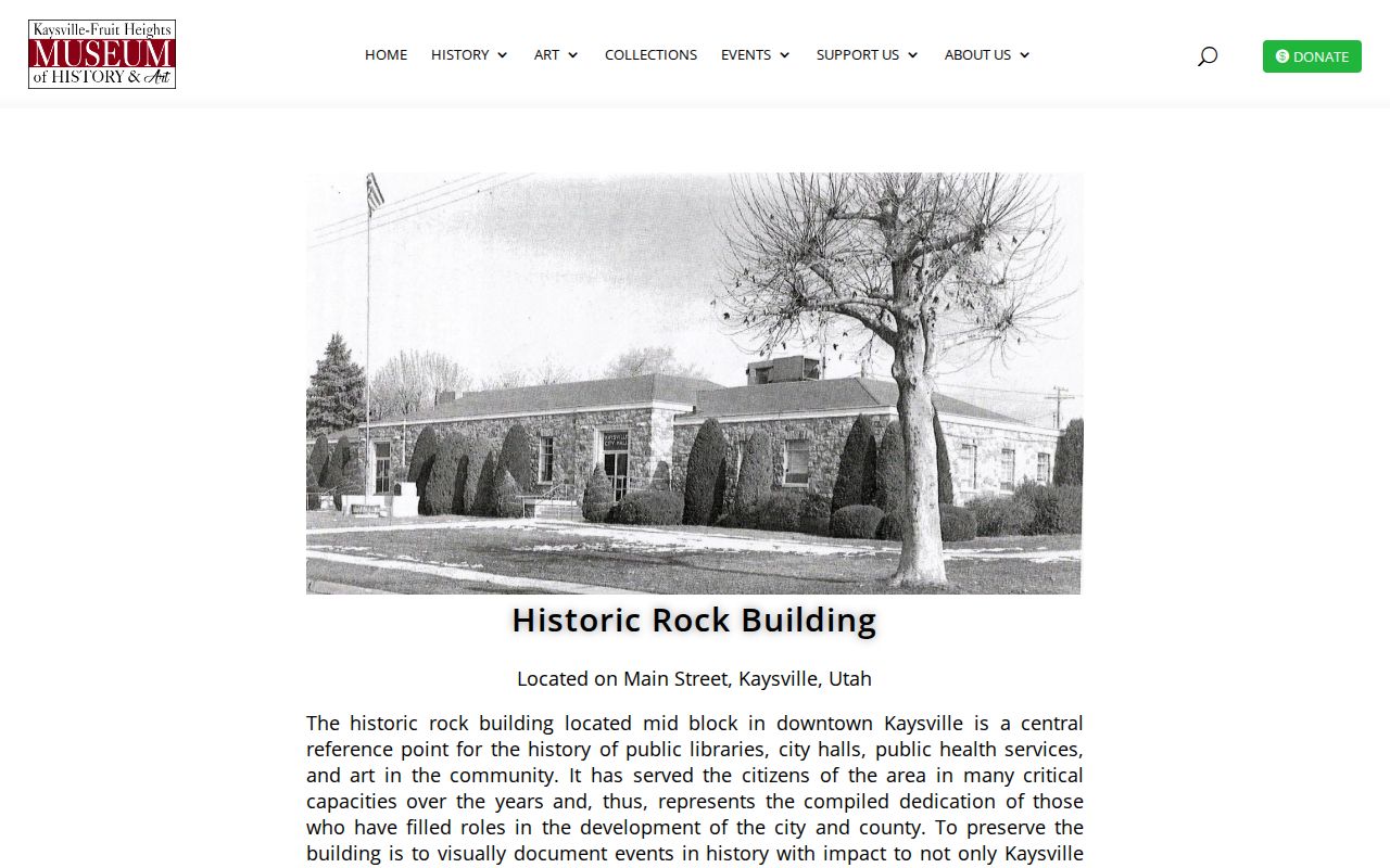
House-history images work best when paired with a deed or newspaper citation, not when treated as a named resident list.
Permits and Obituaries Close Gaps
Kaysville City Inspect permit information may include project address, valuation, contractor or license number, plans, payment, review, and inspection events. A permit can date construction or remodeling. It may name a project participant rather than a resident, and the exact historical start of the digital archive was not located.
The Davis County Clipper’s digital run from 1892 to 1992 can mark a death, move, marriage, business change, civic appointment, or house reference. KFH Museum also cites Weekly Reflex, Davis Reflex-Journal, and Lakeside Review material. Verify obituary names and dates with Kaysville Cemetery or Utah Archives.
Kaysville Cemetery as an Endpoint
Utah Archives Series 22081 holds a Kaysville City Cemetery interment register for 1861–1982. The described fields include interment number, name, birth place, birth and death dates, burial location, attending physician, and comments. Series 84760 adds burial records and lot diagrams.
Use the city cemetery route, Names in Stone, the Utah cemetery database, and archival records as a historical endpoint. Burial connects a person to a place and date. It does not prove a current relationship or address.
The Utah Archives cemetery series is the source for the interment-register fields.
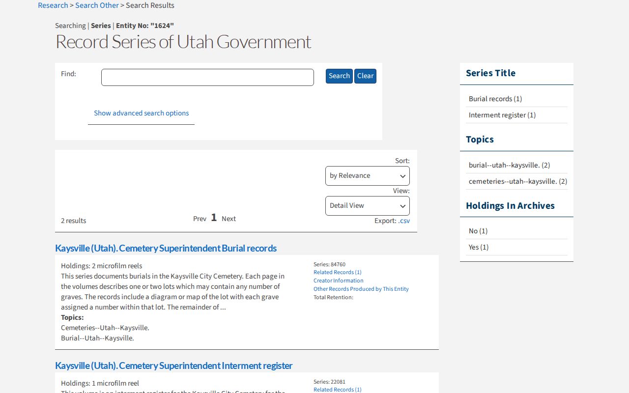
The archival register can bridge generations when a directory disappears, while its date and plot fields keep the claim precise.
Kaysville Cemetery Series
The Utah Archives cemetery series and city records provide a second route when an old household trail ends at a burial or plot question.
The Utah cemetery search is the public comparison route for a burial name and date.
Record the series, interment number, plot, date, and source office so a later researcher can separate an index lead from a record image.
Kaysville Museum House History
KFH Museum’s history and house-tour material brings together oral history, local newspapers, telephone sources, Kaysville, Our Town, and the 1894 map. Its KINDEX archive searches people, places, dates, events, and subjects, but the searchable transcription set is partial.
The KFH KINDEX archive is the source for the museum’s searchable person, place, date, event, and subject material.
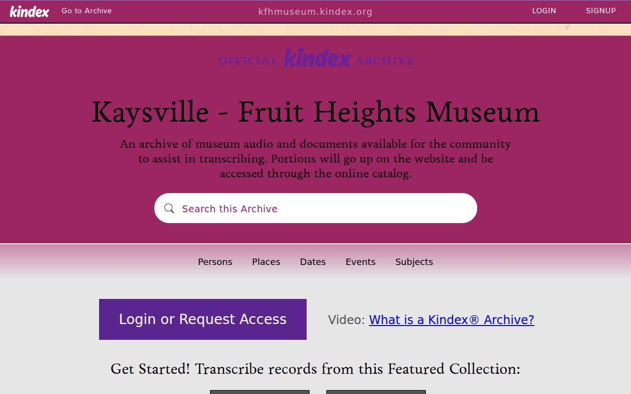
Ask the museum or library for a source by address, historic name, and date range. Oral history is a lead that still needs a second record.
When an Old Address Breaks
Kaysville-specific street renumbering year was not located. Utah Archives GRS-1167 confirms a permanent record category for street dedications, closings, name assignments or alterations, and house-number assignments or alterations. Ask the Kaysville City Recorder or Public Works for the old and new number, street block, subdivision, and approximate date.
Keep postal town, ward, ZIP, situs, parcel, legal description, and directory wording in separate notes. The shared 84037 ZIP with Fruit Heights is another reason a mailing label cannot settle a house-history question.
Limits of Previous Residents Research
Previous residents research can show recorded owners and dated household clues, but it cannot guarantee that every person lived at a house. A deed names a conveyance. A permit names a project role. A telephone book names a subscriber. A census records an enumeration-day household. Preserve those distinctions.
Lawful use. Kaysville house history is appropriate for genealogy, historic preservation, estate research, and personal curiosity. Do not use a past-resident result to track, watch, harass, intimidate, or harm a living person. Utah Code §76-5-106.5 addresses stalking conduct.