
Finding Kaysville Residents by Address
The useful starting point for a Kaysville street directory is the exact situs address. “Situs” means the physical place where a parcel sits. It is not the same as the mailing address used for tax notices, and neither label proves who sleeps in the building. Put the address, city, ZIP, unit detail, and search date in a small research note before opening a portal.
Then move through the sources in a set order. The point is to create a trail that another reader could check, not to turn one result into a conclusion.
- Use the June 2025 Kaysville Street Index Map to locate the street segment and its A–K / 1–11 grid reference.
- Search the Davis County Property Search by Property Address. Save the parcel or serial number, owner, mailing address, legal description, and document entry number.
- Open the Davis County Property Search 2.0 map, accept its informational-use terms, and select nearby parcel polygons.
- Take the parcel and legal description to the Recorder’s deed index. Search the latest instrument, then work back through grantors, grantees, dates, and parcel changes.
- Use the Utah voter route or a permitted county list only for the ordinary public fields. Finish with older directories, newspapers, or permits when the question is historical.
Kaysville Parcel Search Fields
Davis County names four public Property Search keys: Owner Name, Property Address, Parcel or Serial Number, and Document Entry Number. The page advertises current and historical ownership, recorded documents, legal descriptions, acreage, parcel boundaries, assessment values, tax information, and mailing addresses. The dynamic application may display more controls, but the static county description does not guarantee a particular dropdown, wildcard rule, ZIP browse, export, or result cap.
| Field | Type | Best use | Caution |
|---|---|---|---|
| Owner Name | Name text | Find recorded owner candidates | Trusts, entities, duplicates, and spelling variants occur |
| Property Address | Address text | Start a street directory search | Test directional and unit formats in the live app |
| Parcel / Serial Number | Identifier | Hold the chain steady | More durable than street text when parcels change |
| Document Entry Number | Record identifier | Jump to a known instrument | It is not a person’s identity key |
| Legal Description | Result field | Bridge deed, plat, and GIS work | Read the full description before matching parcels |
The county map warns that values may be 24 hours old or older, are informational, and may need a title search for legal accuracy. Owner data is a useful lead. It is not an occupancy record.
Walking the Kaysville Grid
The city’s map set gives a street-level frame that a name search cannot. The June 2025 street index uses lettered columns A through K and numbered rows 1 through 11, with major roads, parks, waterways, and the street list. It is a locator, not a list of residents. The Kaysville GIS page also links interactive city, zoning, school, irrigation, cemetery, construction-project, public-notice, and printable parcel maps.
Kaysville’s older center has a distinct history. KFH Museum describes the early fort survey with Main Street as the east wall, 100 South as the south wall, 200 North as the north wall, and 600 West as the west wall. That frame can help translate an old description into a present block. Newer cul-de-sac areas need a different approach, using plat phases, parcel polygons, and project records instead of assuming house numbers run in a clean line.
Street-name and house-number files are a known archival category under Utah Archives GRS-1167. A Kaysville-specific renumbering year was not located. Ask the Kaysville City Recorder or Public Works for a narrow old/new number, street, subdivision, and date-range request rather than treating the gap as proof that no change occurred.
Kaysville GIS and Adjacent Parcels
The direct Davis map begins with an agreement to informational-use terms. After locating a parcel, click its polygon or point and record the parcel ID, address, and links exposed by the current application. Pan along one side of a street, then the other. A corner parcel may use a cross-street address, while a multifamily parcel may represent several units.
Utah UGRC parcel data supplies a state-level reference for parcel identifiers, address, city, ZIP, ownership type, recorder information, and update fields. The state layer is useful for checking field names and refresh context. It does not replace the county’s current record or establish who occupies a parcel.
Parcel means a mapped unit of land. A plat is a recorded map that shows lot, block, subdivision, or related boundaries. Use both when a street address returns no older result.
Kaysville Records Searchable by Street
Several Kaysville record sets can be keyed to an address, but they answer different questions. The table keeps ownership, geography, civic registration, construction, and history in separate lanes.
| Record Set | Keeper | What It Shows | Access |
|---|---|---|---|
| Property and tax characteristics | Davis Assessor / Property Search | Owner, situs, mailing, parcel, value and tax context | Public dynamic search, informational |
| Parcel map and GIS | Davis County and Kaysville | Geometry, adjacent parcels, zoning and civic layers | Free map and city GIS page |
| Deeds, liens and plats | Davis Recorder | Grantor, grantee, instrument, legal description and dates | Index, terminal, REDI-Web, copies |
| Voter record | Utah and Davis County Clerk | Ordinary registrant address, age range, status and precinct | Public fields, protected records withheld |
| Building permits | Kaysville Community Development | Project address, applicant, contractor, valuation and review events | City Inspect account or narrow GRAMA request |
The parcel ID can connect the property roll, map, deed, plat, and permit request. It cannot turn those sources into a household census. A voter address can add civic context, while an old directory can add one dated subscriber or household clue.
Deed Chains Along a Street
Davis County Recorder custody reaches back to 1850, with the historical land collection beginning in 1870 and computerization or microfilming beginning in 1981. The county does not state an exact free web-index cutoff for each document class. That distinction matters. Do not claim that every early deed is searchable online.
Start with the current parcel. Open the most recent deed or document entry, note the grantor, grantee, recording date, instrument type, document number, book or page reference, legal description, and any image link. Search the prior grantor or grantee, but confirm the legal description and parcel sequence. A deed records a conveyance. It does not prove the named owner lived at the property.
The Recorder lists public terminals, REDI-Web access, counter service, mail routes, and copies. The displayed fees include $2 per page for copies, $5 plus $2 per page for certified copies, and $45 for document recording. REDI-Web’s page displays a $25 monthly subscription and digital document pricing. Verify live fees before ordering. Recorder staff do not conduct title research or provide legal advice.
Kaysville Permits Add Dates
Kaysville’s City Inspect process can connect a project address with valuation, contractor or license numbers, plans, attachments, payments, and review or inspection events. Most permit reviews were described as taking about two weeks, and inspections need at least 24-hour scheduling. These are project clues, not move-in dates.
A permit applicant may be an owner, contractor, or another project participant. Keep those roles apart. The research did not locate a static public permit-result index. Use an authorized City Inspect account when available, or send Kaysville Community Development a narrow GRAMA request with the address, permit type, approximate date, and desired fields.
Kaysville Building Permits is the appropriate starting point for the portal and department contact path. A code case, if maintained, follows the same rule: request a specific address and time range, and do not assume that a lack of a web result means a lack of a city record.
Old Kaysville Address Clues
Historical address work needs original wording. A telephone book may name Kaysville, Kay’s Ward, Davis County, a rural route, or a telephone exchange. A parcel may retain its legal description while the street text changes. Fruit Heights also shares ZIP 84037, so a postal label alone cannot settle a city boundary.
Useful checkpoints include the 1931–1932 Mountain States Telephone and Telegraph catalog, which explicitly covers Kaysville and Davis County, plus KFH Museum source notes for a fall 1953 telephone book and a 1960 Telephone Directory and Yellow Pages. Exact reverse-directory availability is not confirmed. Preserve the page image, title, year, locality line, and abbreviation key before interpreting an entry.
A criss-cross directory is arranged by street or address rather than only by surname. It can show a dated subscriber or household lead, but it may omit unlisted numbers and people who did not answer a canvass. Pair it with a deed, newspaper, census, or cemetery record.
Kaysville Street Map Reference
The official Kaysville GIS and mapping catalog is the source for the city’s map choices, including the interactive map and printable street-index material. The captured map view gives a repeatable way to name a street segment before opening parcel records.
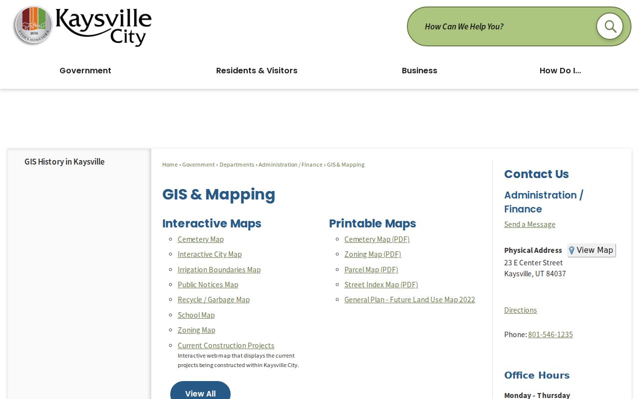
The image is an orientation aid. It does not list occupants, and its map layers should not be read as a resident roll.
Kaysville Parcel Search View
The county’s direct parcel application joins map selection with property information. Read the terms first, then save the parcel identifier and the retrieval date when a result appears.
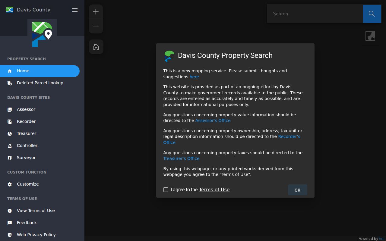
Use the parcel view to find neighboring polygons, then confirm ownership or legal description through the Recorder rather than relying on a map label alone.
Kaysville Deed Access
The Davis Recorder REDI-Web page describes name, address, parcel, and document-number searches, along with abstracts, scanned images, plats, surveys, and PDF download options.

REDI-Web is a subscription route. Public terminals, counter copies, and mail requests remain relevant when a paid image is not needed.
Kaysville Parcel Data Context
Utah’s parcel data reference describes identifiers and address, city, ZIP, ownership, and recorder attributes that help compare a parcel record with a county search.
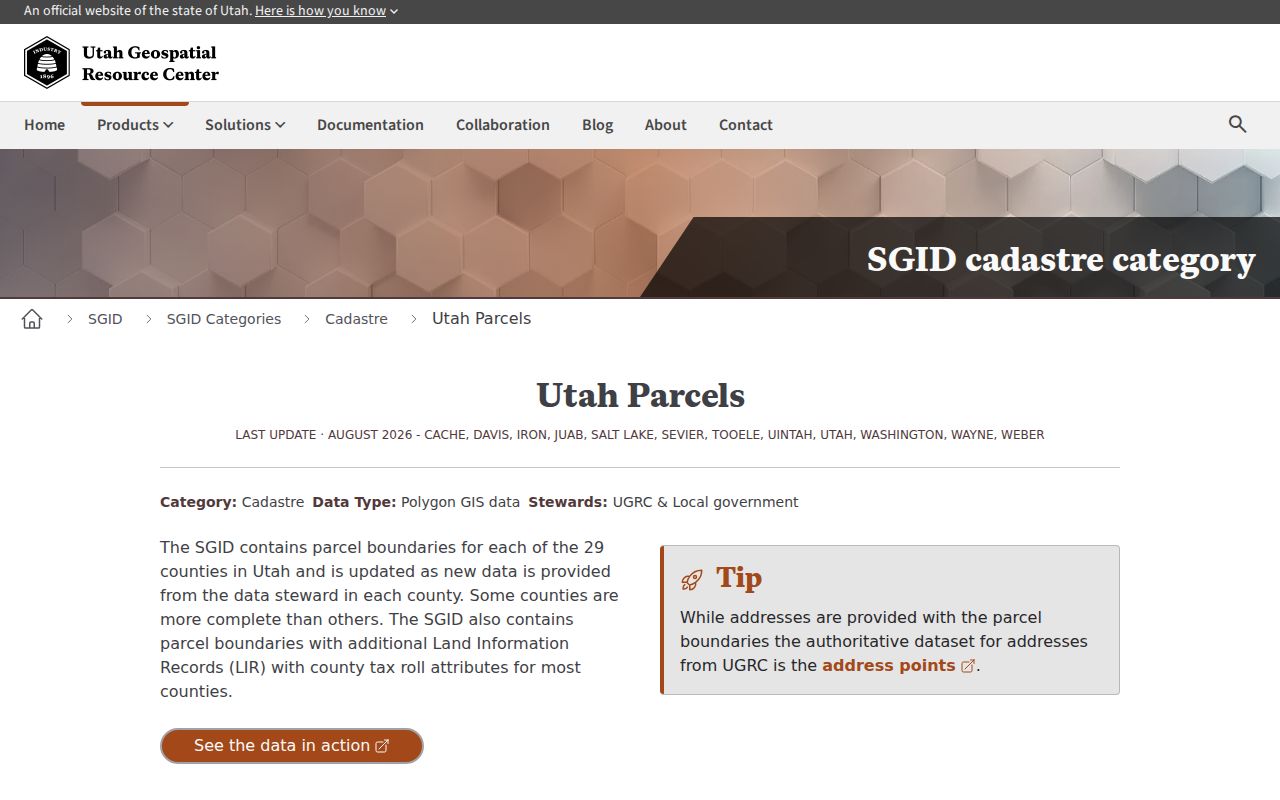
State parcel data is a cross-check. The county Recorder and Assessor remain the custodians for the underlying local record.
Kaysville Permit Trail
The city’s building-permit page explains the City Inspect route and the kinds of project information a permit process may collect.
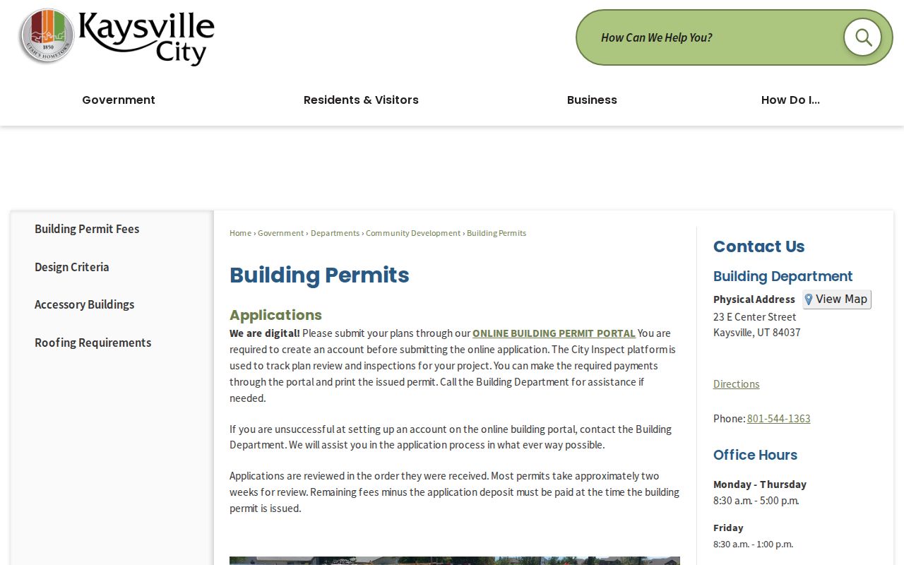
A permit helps date work at an address. It does not establish that the applicant or contractor was a resident.
Limits of a Kaysville Street Directory
A public property roll identifies recorded ownership and tax-address data, not every person inside a building. Voter records omit non-registrants, children, visitors, and some protected residents. DMV addresses, utility customer lists, delivery records, and a complete household roster are not available through an ordinary public street directory.
Utah’s Safe at Home program can shield an eligible survivor’s actual address with a substitute address. At-risk voter records can also be withheld. A missing name must not be treated as proof that no one lives at a parcel. Record dates, source type, and uncertainty in every result.
Lawful use. Kaysville address records support personal research, family history, house history, and ordinary civic curiosity. Do not use them to stalk, monitor, harass, intimidate, or harm another person. Utah Code §76-5-106.5 addresses stalking conduct, including repeated monitoring or approaching a residence or neighbors.