
Kaysville ZIP Codes and Coverage
The Davis County city-to-ZIP table assigns Kaysville one mailing ZIP, 84037. It also assigns 84037 to neighboring Fruit Heights. The county table identifies cities, not a named USPS station for every address, so the exact post office or delivery route must be checked with the official USPS lookup for a specific address.
| ZIP Code | Areas Covered | Post Office | Notes |
|---|---|---|---|
| 84037 | Kaysville and Fruit Heights | Named station not identified in county table | Shared ZIP, so it is not a city-limit key |
Nearby comparison codes include Farmington 84025, Layton 84040 and 84041, Clearfield and nearby cities 84015, and Syracuse 84075. Those comparisons help spot a mailing-city mismatch, but they do not add ZIPs to Kaysville’s official city assignment.
Finding Kaysville Residents by ZIP Code
A ZIP-keyed resident search needs a known address or a lawful public data product. Davis Property Search documents address, owner, parcel or serial, and document entry fields, but its static description does not promise a ZIP-wide browse or export. Utah voter data contains residential address, mailing city, county, and precinct fields, yet the self-service status route is not a public ZIP directory.
- Run the address through the USPS ZIP Code Lookup and save the returned delivery result.
- Compare the mailing city with the Kaysville and Fruit Heights assignment in the Davis County table.
- Use Davis Property Search or the parcel map to confirm the situs, parcel ID, and city context.
- Use ordinary public voter fields only where permitted, and remember that protected records and non-registrants will not appear.
- Once the ZIP narrows the area, switch to the Kaysville street directory for parcel-by-parcel work.
A ZIP code can narrow a search. It cannot supply a full list of people at every address.
Property Fields Behind ZIP Work
The county property application is the most useful bridge from postal geography to land geography. These are the documented fields. A ZIP field was not exposed in the static inspection, so no ZIP-wide property browse should be promised.
| Field | Type | ZIP research use | Limit |
|---|---|---|---|
| Property Address | Text | Test a USPS-validated address | Street and unit formatting varies |
| Parcel / Serial Number | Identifier | Hold location steady | Not a ZIP or occupant list |
| Owner Name | Name text | Connect a parcel to recorded ownership | Owner may not occupy the parcel |
| Legal Description | Result field | Check city, lot, block, and plat | More useful than ZIP for boundary disputes |
| Mailing Address | Result field | Compare postal destination | May differ from situs and city |
The direct county map warns that results may be at least 24 hours old and are informational. A title search may be needed for legal accuracy.
ZIP Boundaries and Kaysville Limits
84037 proves that postal geography and municipal geography are different. Use USPS for delivery, the Kaysville map for city context, Davis GIS for parcel geometry, and the Recorder’s legal description for land identity. A Kaysville mailing city may share a ZIP with Fruit Heights, and a nearby postal city may not match the parcel’s municipal boundary.
- ZIP versus ZIP+4
- A five-digit ZIP groups delivery areas. ZIP+4 adds a more exact delivery segment, but it does not define a city boundary.
- PO-box ZIP
- A code used for post-office box delivery rather than a normal street delivery area.
- Unique ZIP
- A code assigned to one large organization or institution. No Kaysville unique ZIP was confirmed in the research.
- Carrier route
- A postal delivery route inside a ZIP. It is a service pattern, not a public household roster.
USPS Validation for Kaysville
The official USPS lookup is the proper check for a particular mailing address. The captured research did not expose a named Kaysville station or a full result screen, so station and delivery-type details should be confirmed live.
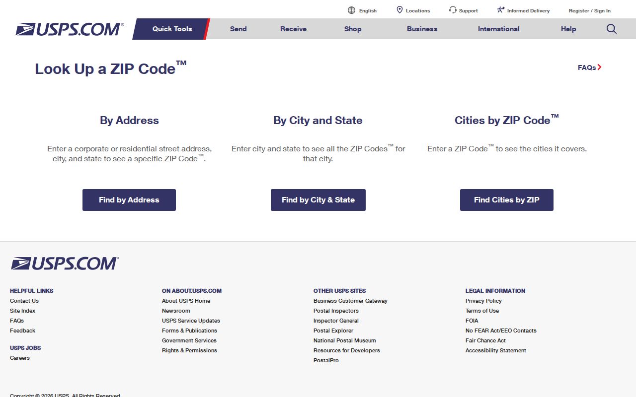
USPS validates delivery. It does not tell a searcher who lives at the address.
Kaysville County ZIP Table
The Davis County city-by-ZIP material is the local source for the Kaysville and Fruit Heights pairing. It is more precise for that table than a broad national ZIP estimate.
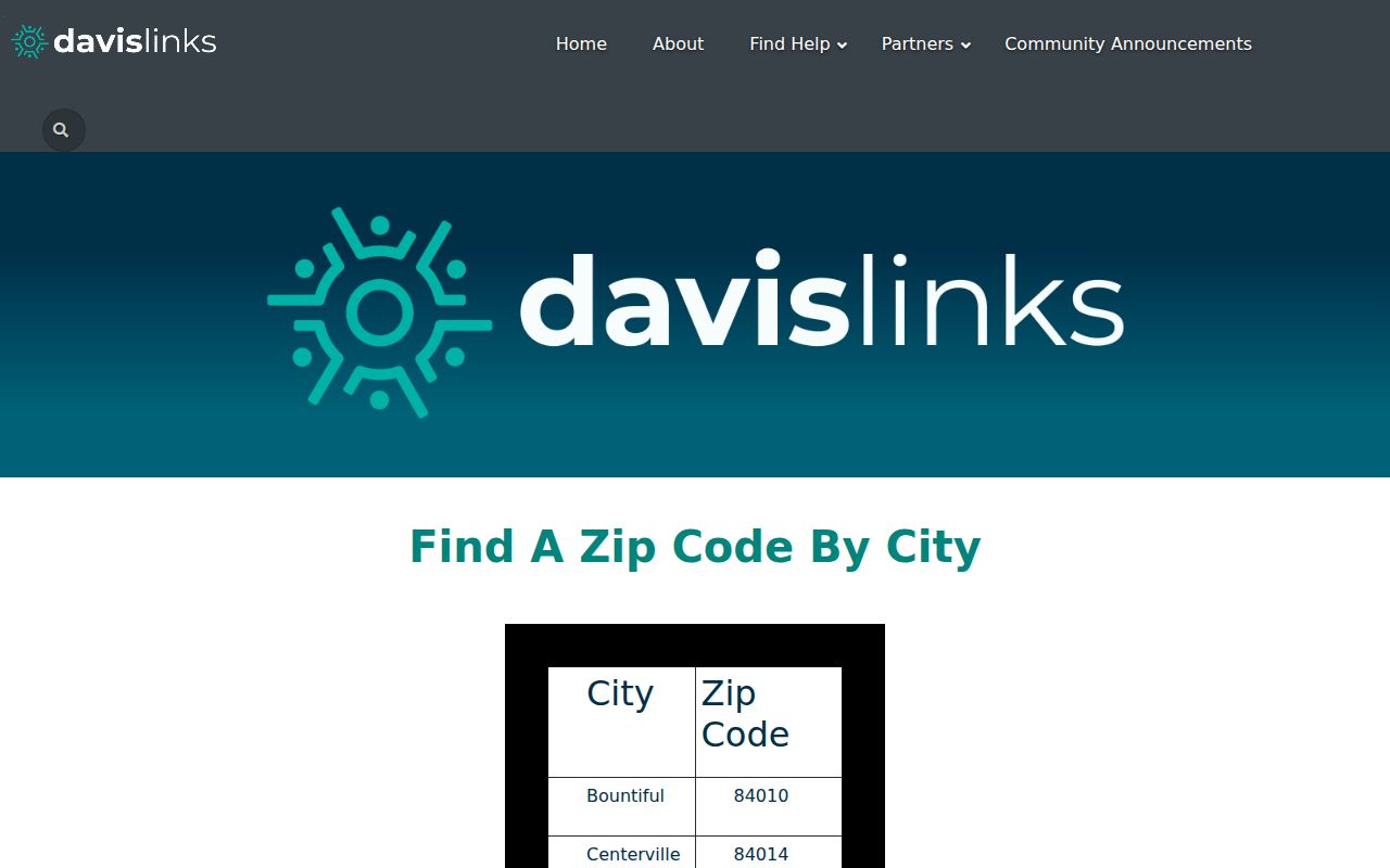
Keep the shared code visible when comparing a postal label with a parcel or city boundary.
Kaysville ZCTA Context
Census QuickFacts and geographic material provide statistical context, but ZCTAs are approximations. They should not replace USPS address validation or the county’s city table.
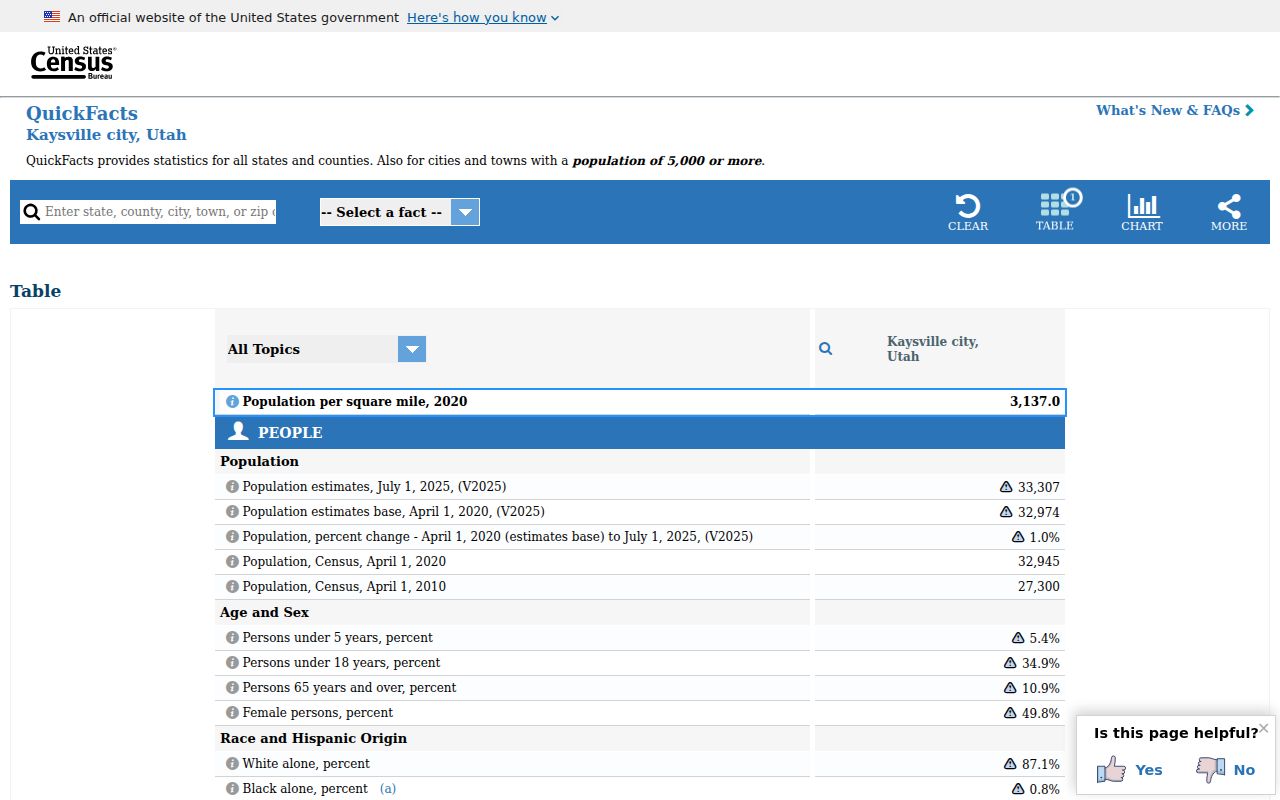
Use Census geography for comparison and analysis, not as a mailing or resident record.
Utah Voter ZIP Fields and Address Privacy
The Utah voter-registration data page describes the statewide file and the address-related fields that may appear in ordinary public data. A ZIP can help sort a broad request, but the file is not a substitute for USPS validation, and protected or at-risk records may be withheld.
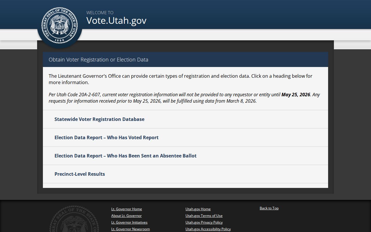
Use voter-file geography only as a dated civic-record cross-check. It should never be treated as a complete list of people who currently receive mail in ZIP 84037.
Kaysville Parcel Boundary Check
The Davis County address and parcel search overview, together with the Kaysville GIS catalog, can confirm whether an address sits inside the city boundary after postal validation. The map layers include parcels, zoning, school, irrigation, cemetery, public notices, construction, and street-index resources.

Parcel geometry is the final local check when a ZIP, mailing city, and municipal line point in different directions.
Use the ZIP Code Directory Carefully
A ZIP code directory is good at sorting postal records. It is weak at proving occupancy. Mailing address, situs, legal description, parcel city, voter address, and census geography can all differ. Put the source type and retrieval date beside each result.
The Davis County city table is useful because it answers a narrow local question: which city names are assigned to which mailing code. It lists Bountiful 84010, Centerville 84014, Farmington 84025, Layton 84040 and 84041, and Syracuse 84075 among nearby comparisons. Those rows help explain a postal mismatch, but they do not create a second Kaysville ZIP.
For a specific address, the proper order is USPS validation, city and parcel confirmation, then the record search. The county property application may show a mailing address and a situs address side by side. If they differ, keep both. If a Census ZCTA points to a different code, keep that as statistical geography rather than rewriting the mailing record.
Utah’s full voter-file description also shows why ZIP filtering has limits. The file can include residential address, mailing city, county, precinct, districts, party status, activity, update date, and vote history, but at-risk records are excluded and sensitive fields stay private. A permitted file can be filtered only under its stated access and use terms.
Do not treat a ZIP match as a person match. A parcel may have an owner whose mailing address is elsewhere, a voter may be inactive, and a historical directory may use an older postal town. The ZIP narrows geography; the custodian record supplies the actual evidence.
Lawful use. Kaysville address information is for lawful personal research, genealogy, civic understanding, and ordinary safety awareness. Do not combine records to expose a protected person, or use a ZIP-based search to stalk, harass, intimidate, or harm anyone.